Log in
All resources
Create a design
39,546 Free Images of 1880 Maps
maps in the library of congress
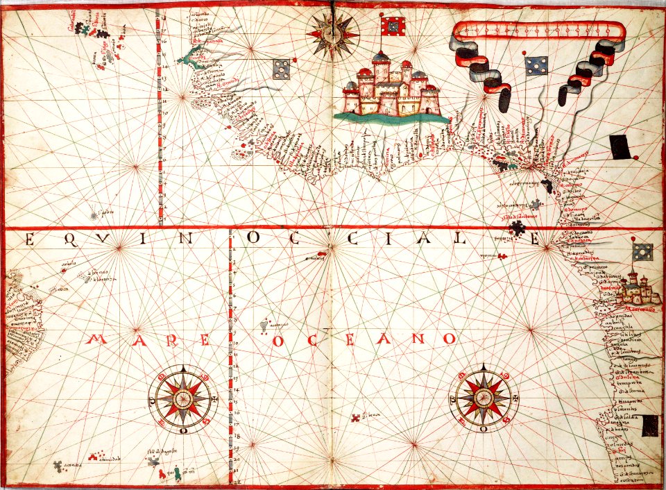
maps with cartouches
atlas van der hagen
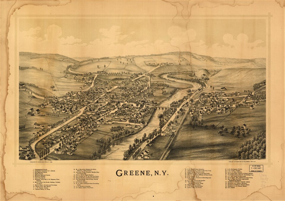
new york
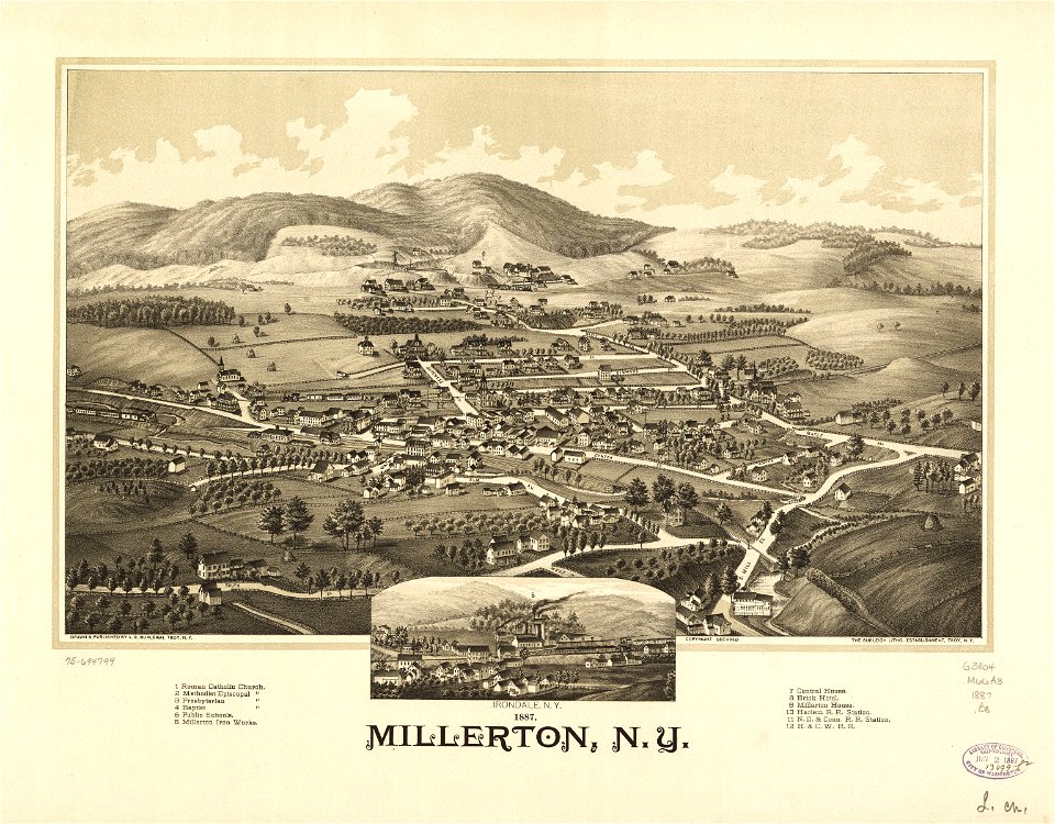
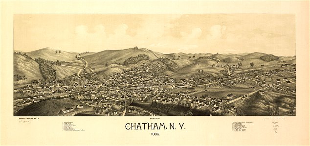
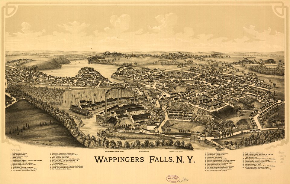
town maps by l. r. burleigh
atlas van der hagen (volume 1)
l. r. burleigh
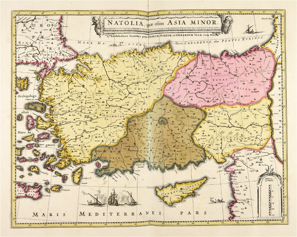
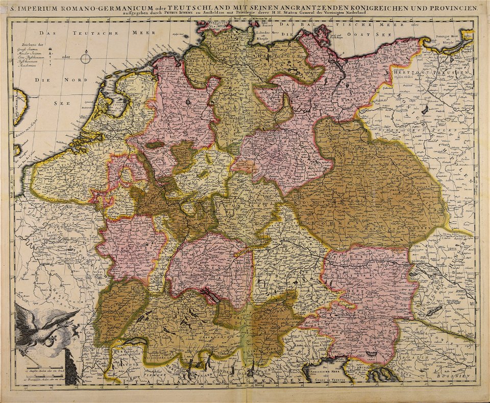
maps by pieter schenk (i)
prints from bonne atlas de toutes les parties at the peace palace library
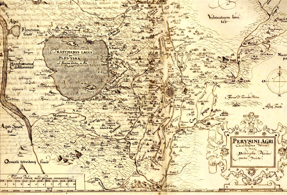
maps made in the 17th century
maps in the library of congress
1746
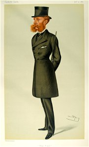
vanity fair caricatures (politicians)
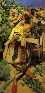
bearded men in art
works after richard caton woodville
jr
caricatures by théobald chartran in vanity fair
vanity fair caricatures (military people)
19th-century paintings in the museo de bellas artes de sevilla
black africans in art
paintings of women
female
caricatures by théobald chartran in vanity fair
portraits of jean-louis-ernest meissonier
printing
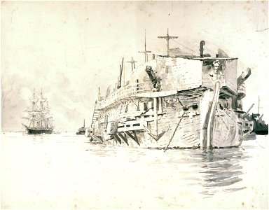
hulk
caricatures by leslie ward in vanity fair
1820 births
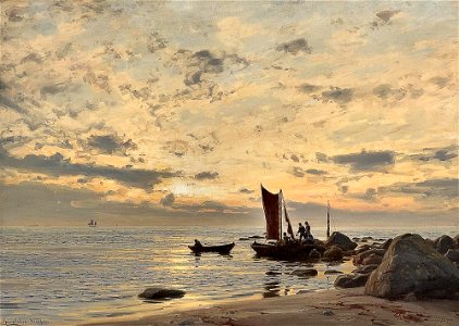
19th-century oil on canvas paintings of landscapes in norway
after the rain in paintings
nobility of austria
nobility of france
lithographs by josef kriehuber
male fur clothing in art
1880s paintings of flowers
1880s still-life paintings
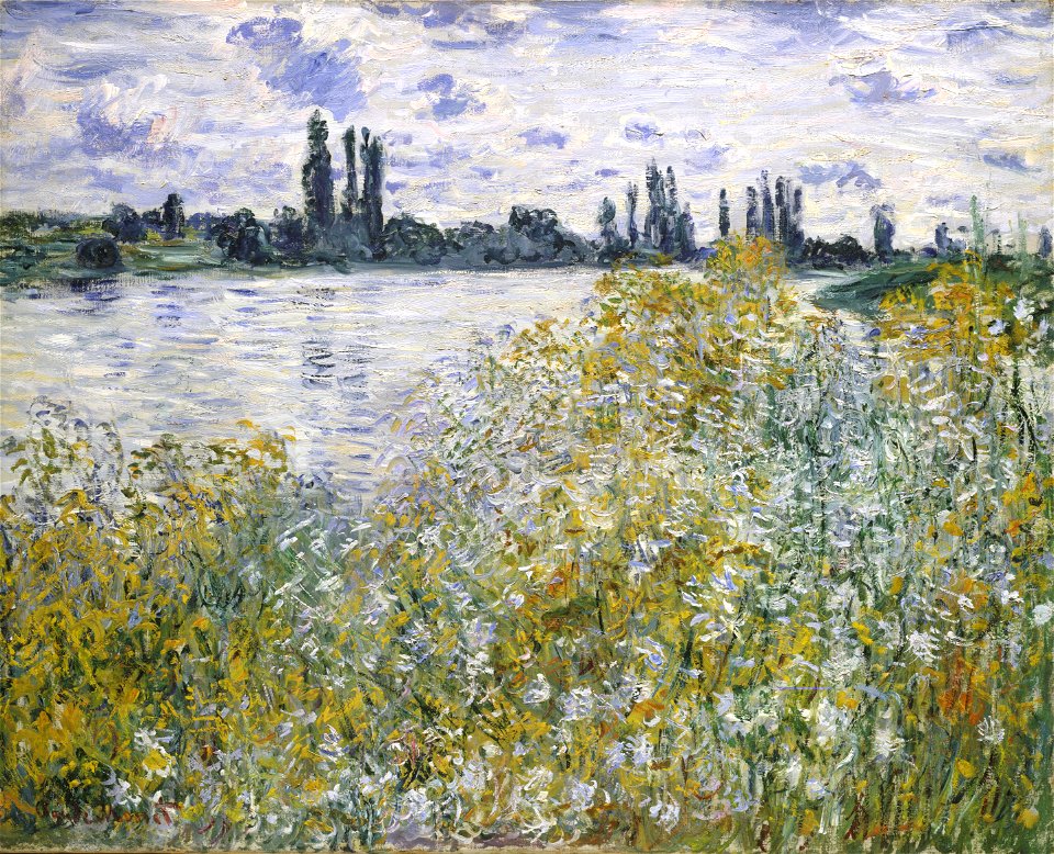
the seine at vétheuil by claude monet
1880 paintings
files from polona
kruszwica castle
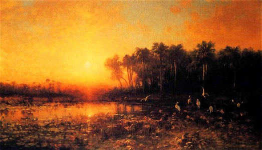
19th-century paintings of sunrises
florida in art
media from the national library of finland
classicism
old manuscript maps
pictorial maps
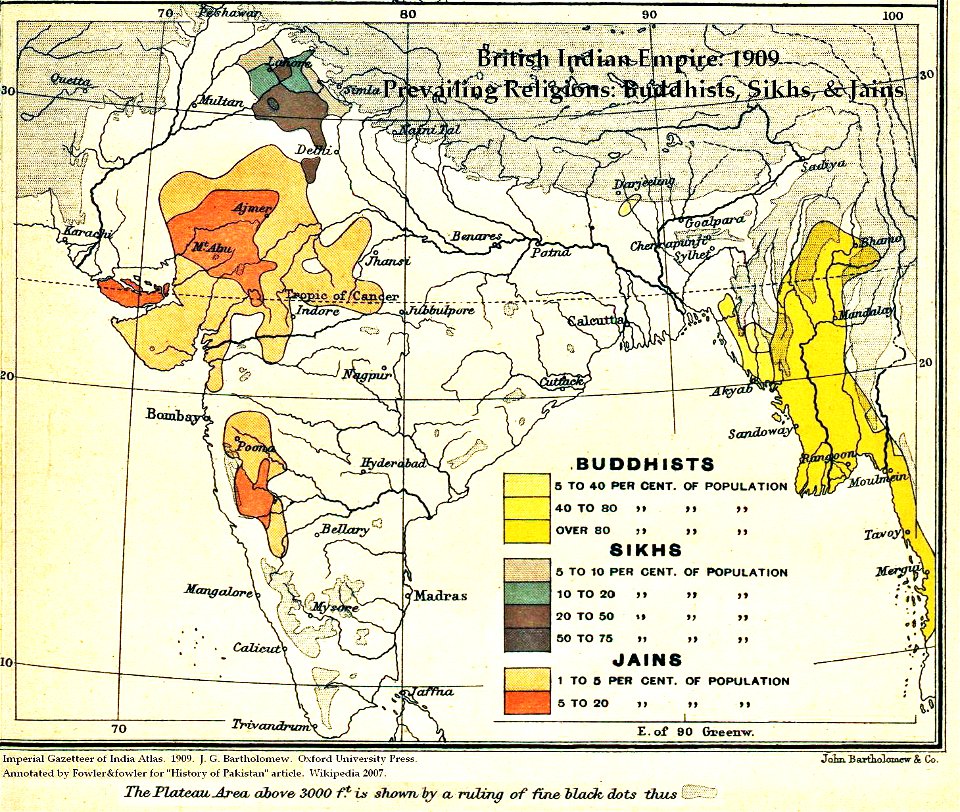
maps of british india
hindus
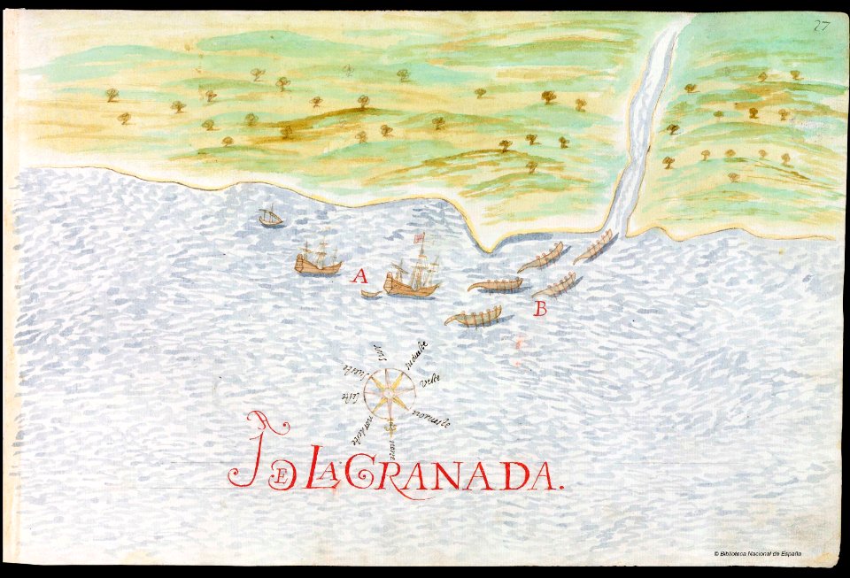
18th-century maps of nicaragua
1780 in central america
el puerto de santa maría
juan de la cosa
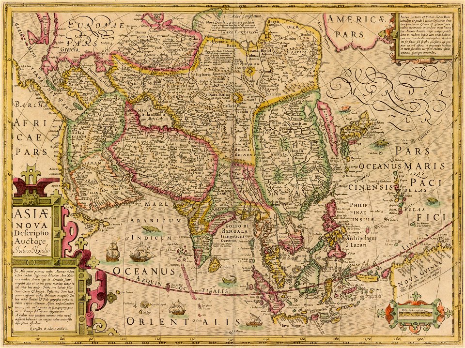
17th-century maps of china
cathay
works by georg matthäus vischer
maps made in the 17th century
claes jansz. visscher (ii)
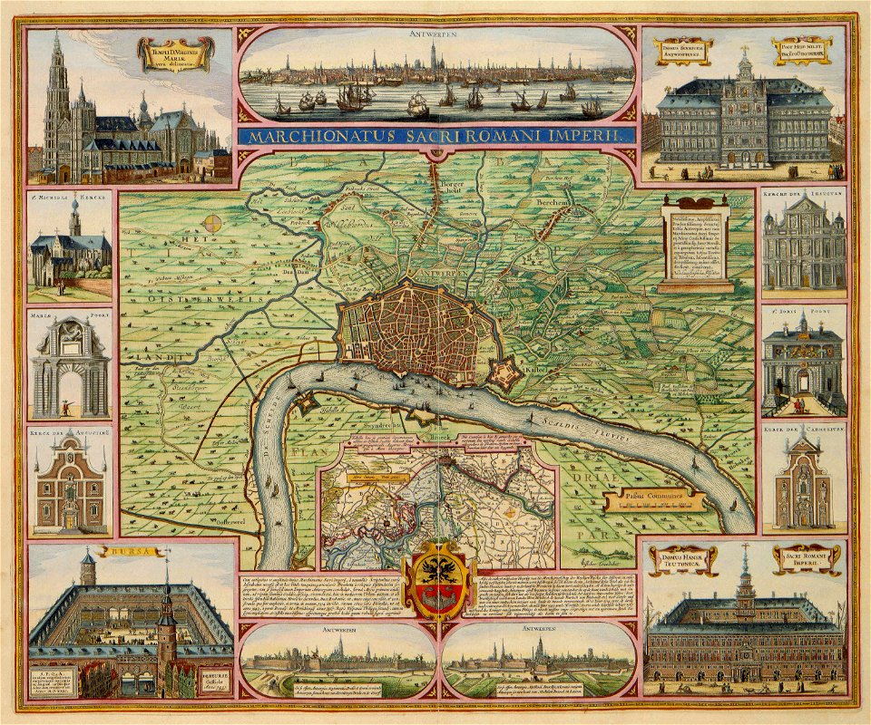
antwerp
maps made in the 17th century
gerard valck
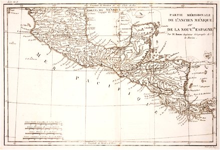
18th-century maps of the spanish empire
dien (printer)
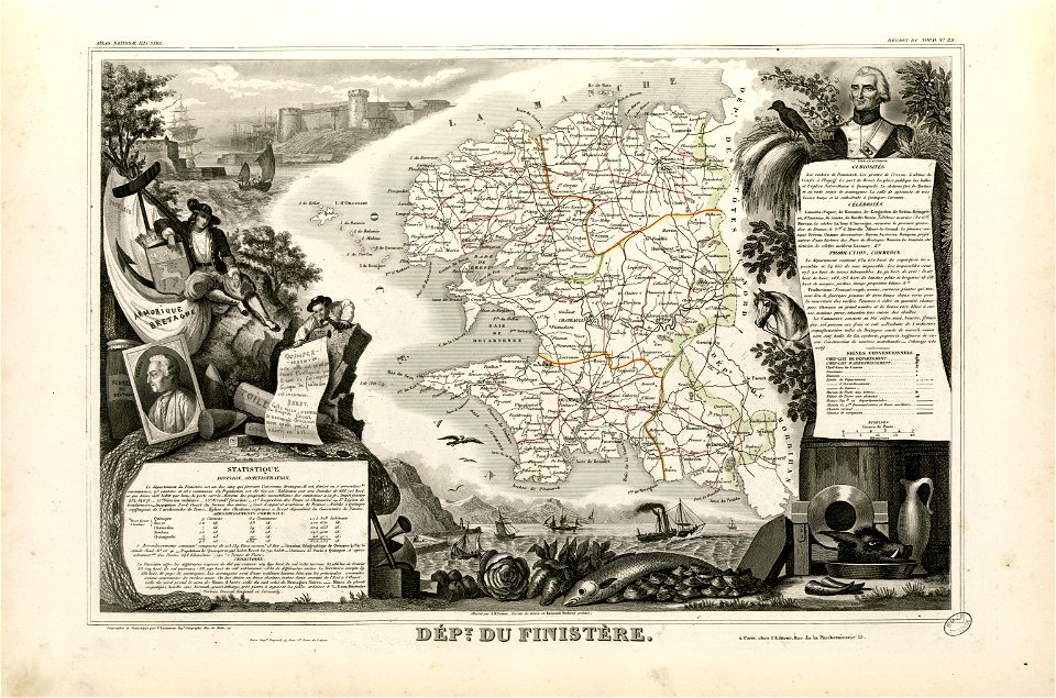
coats of arms of cities in finistère
axes in art
fonds ancely - bibliothèque municipale de toulouse - maps
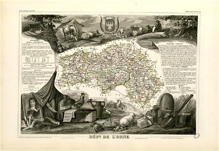
coats of arms of cities in orne
old maps of alabama
old maps of florida
water transport in vyborg
lucas janszoon waghenaer
new york
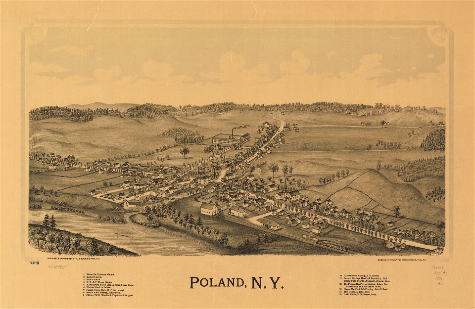
poland
maps made in the 18th century
old maps of europe
gerard valck
cina
18th-century maps of bohemia
1780 maps of czechia
18th-century maps of italy
old maps of algeria
maps by frederick de wit
1662
maps made in the 17th century
gerard valck
maps in the library of congress
new york
maps made in the 17th century
gerard valck
maps made in the 18th century
old maps of europe
fonds ancely - bibliothèque municipale de toulouse - maps
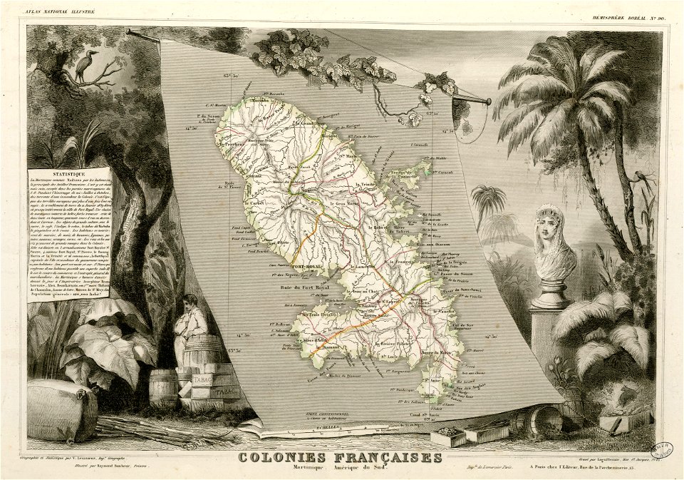
victor levasseur - maps of france
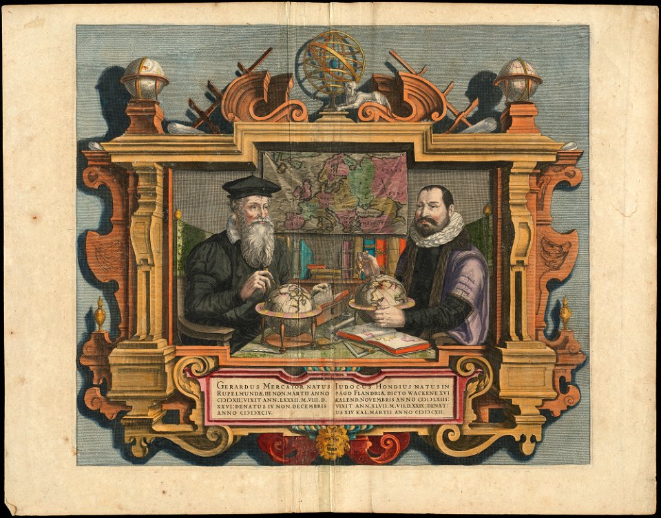
people with globes in art
1628 maps
maps in the library of congress
new york
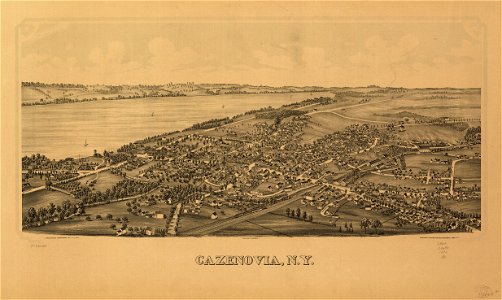
cazenovia
new york
maps in the library of congress
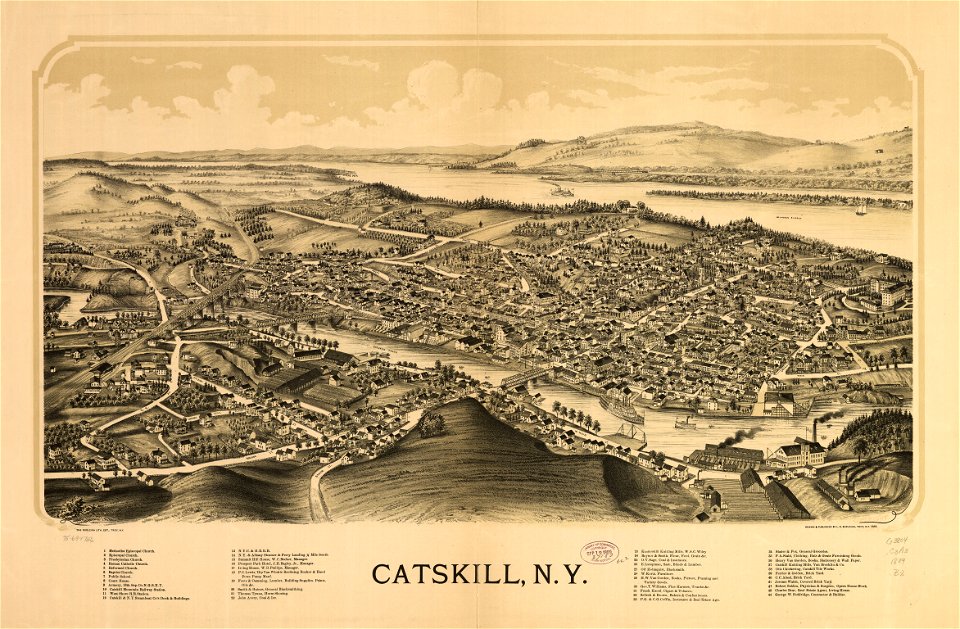
new york
maps in the library of congress
new york
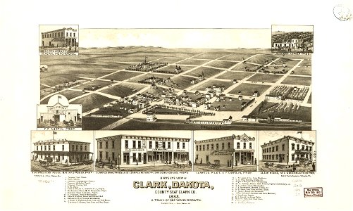
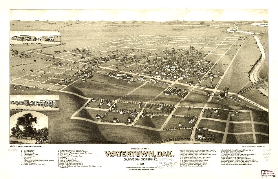
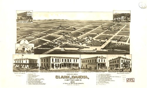
south dakota
clark
p.s. duval & son
philadelphia in art
south dakota
watertown
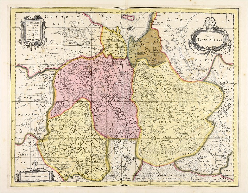
old maps of overijssel
old maps of drenthe
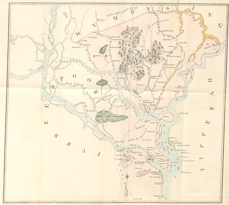
old maps of dhaka
1840 books
maps from the mechanical curator collection
1814 maps
old maps of croatia
river drin
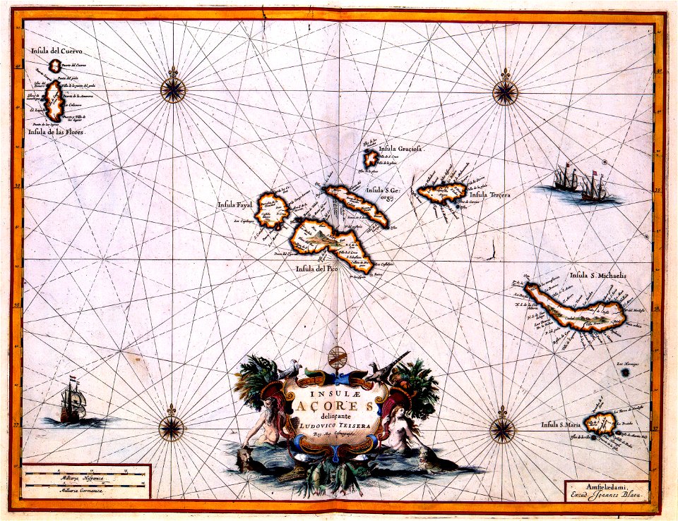
maps with cartouches
atlas van der hagen
maps with cartouches
atlas van der hagen
maps with cartouches
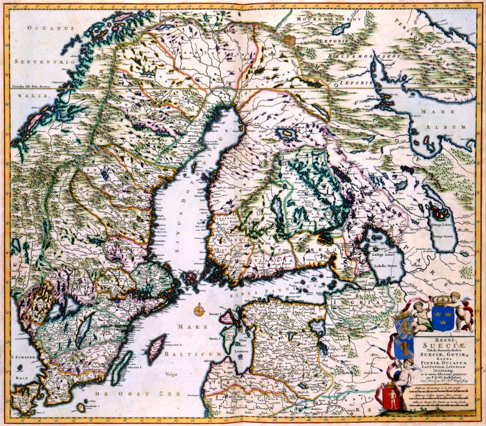
finland
maps with cartouches
atlas van der hagen
old maps of scandinavia
maps with cartouches
maps with cartouches
atlas van der hagen
maps with cartouches
atlas van der hagen
maps with cartouches
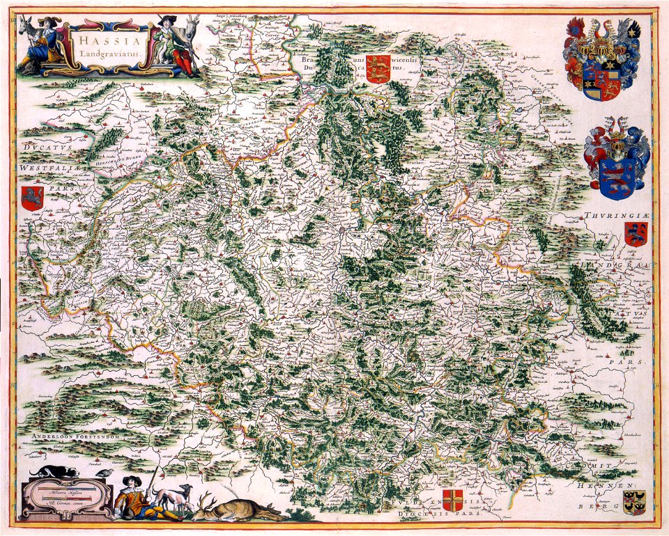
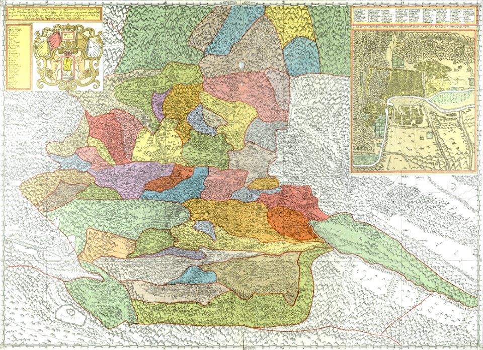
old maps of hesse
maps with cartouches
old maps of hesse
17th-century maps of france
maps with cartouches
17th-century maps of france
maps with cartouches
17th-century maps of france
maps with cartouches
old maps of france
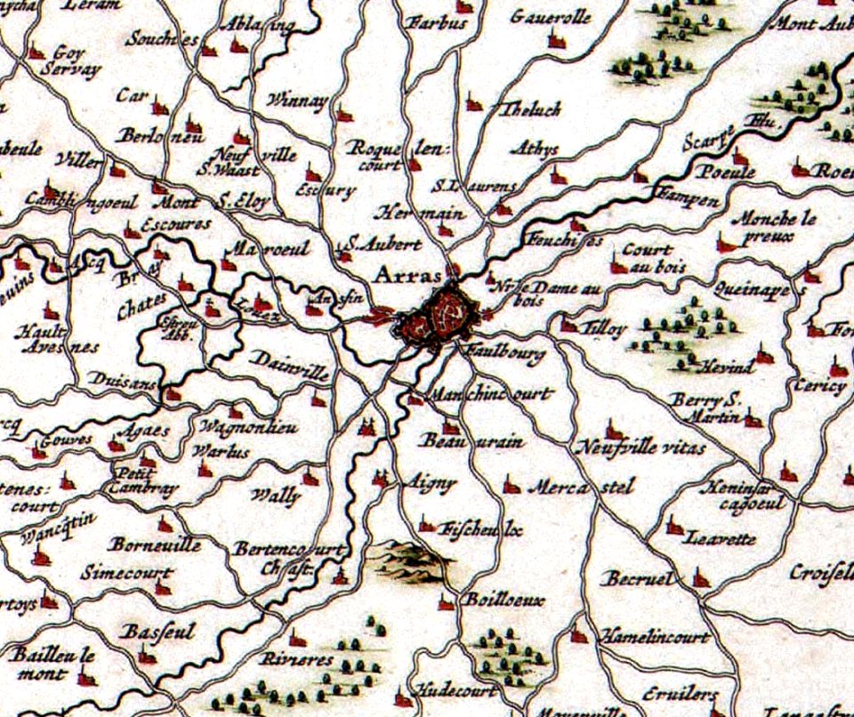
old maps of arras
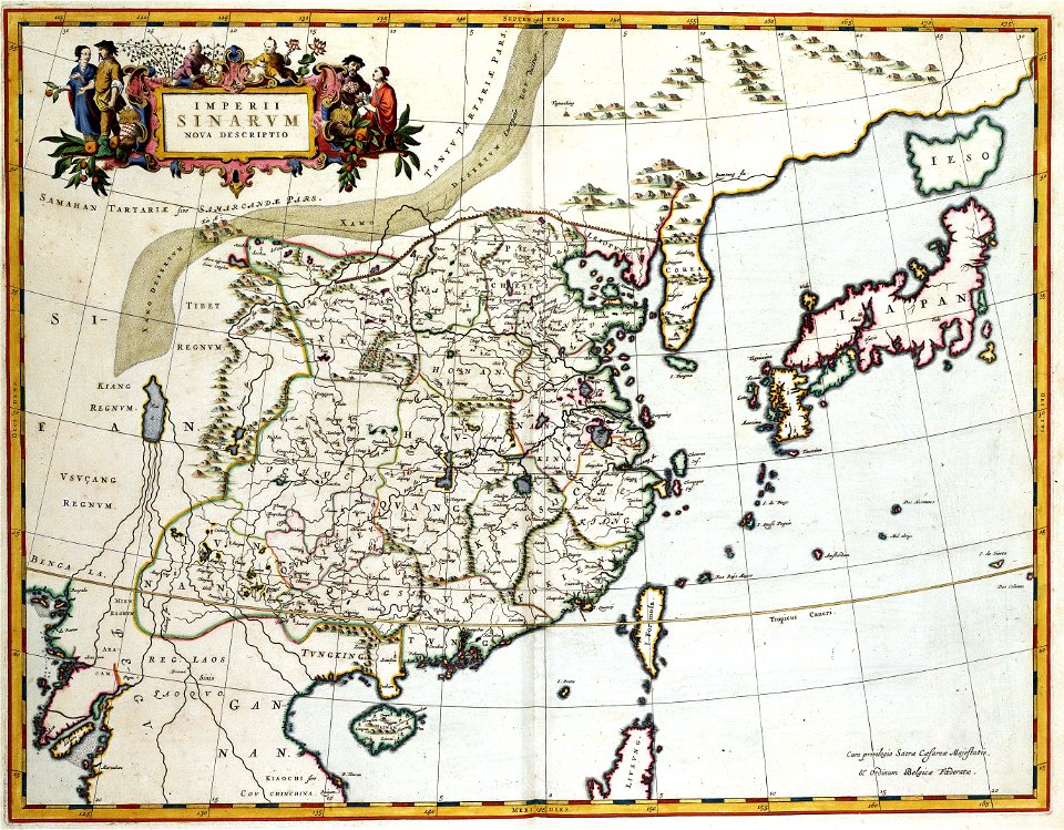
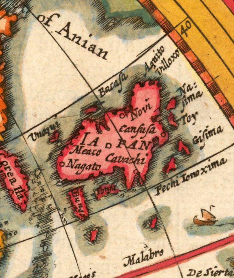
old maps of japan
old maps of china
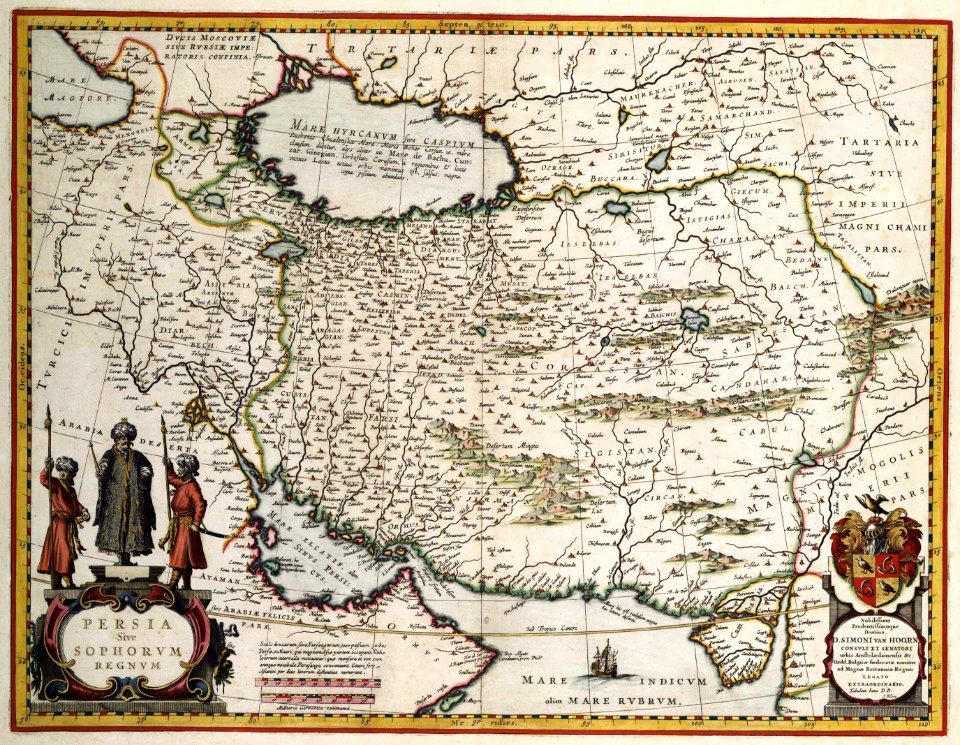
maps with cartouches
ships on maps
atlas van der hagen (volume 4)
maps with cartouches
maps with cartouches
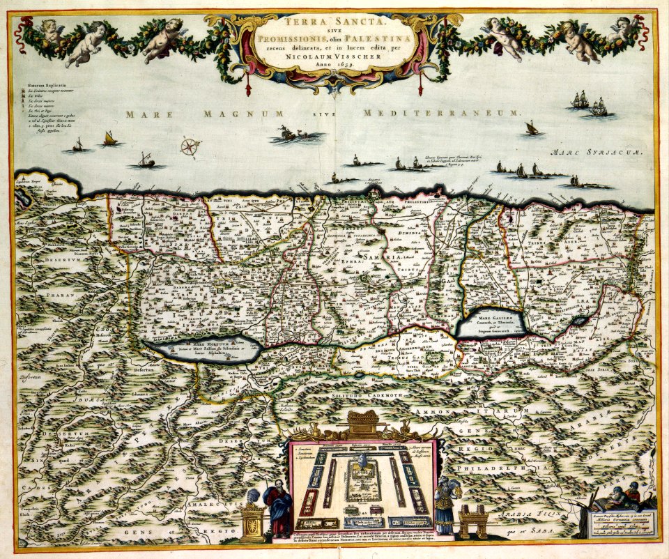
old maps of israel
maps in the library of congress
johannes vingboons
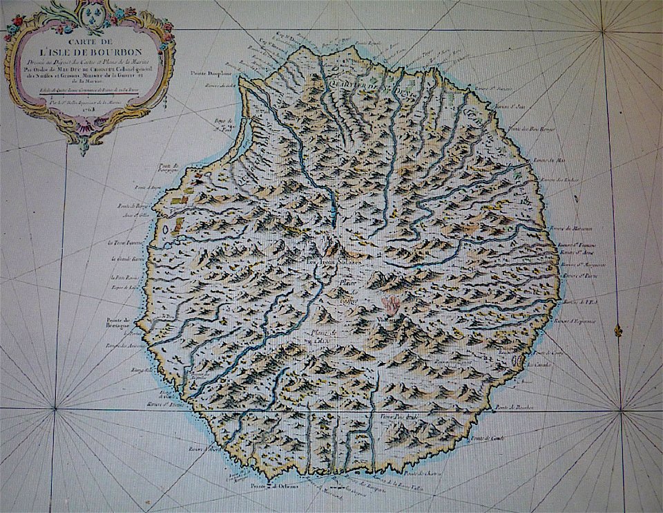
maps in musée de la compagnie des indes
old maps of réunion
maps in the library of congress
johannes vingboons
18th-century maps of the spanish empire
johannes ratelband
south dakota
clark
allegories of the four elements
islands of california
new york
florida
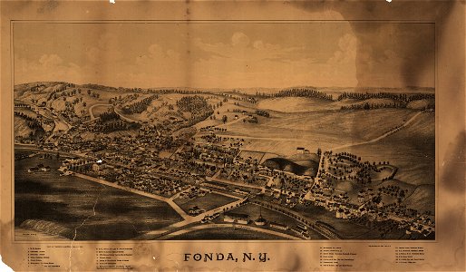
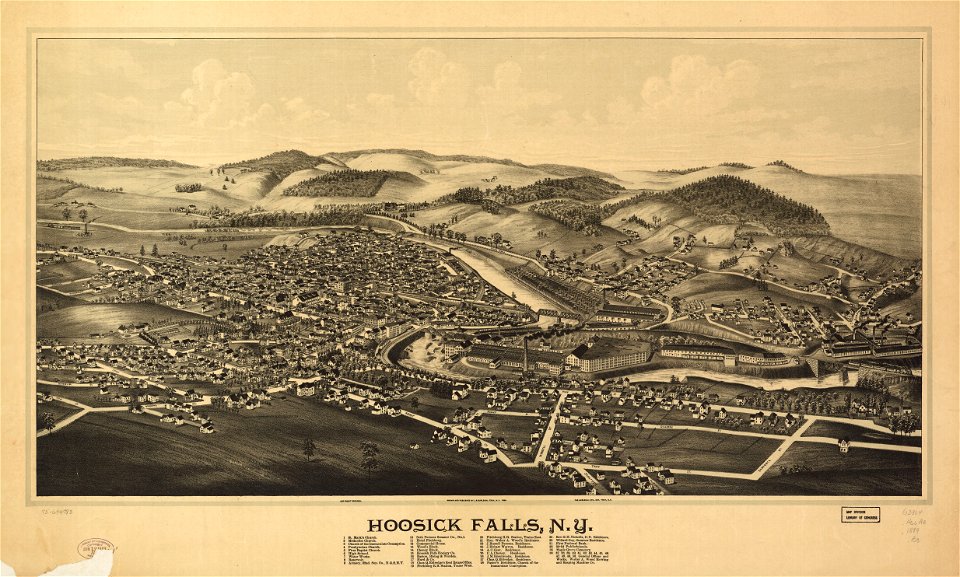
hoosick falls
new york
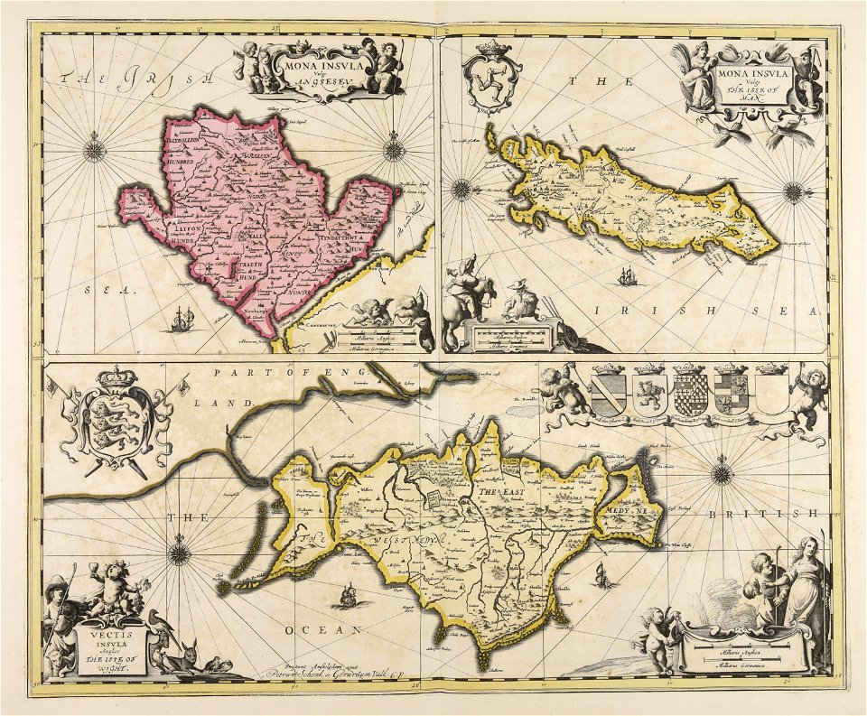
old maps of whole wales (alone)
john speed
old maps of the united states
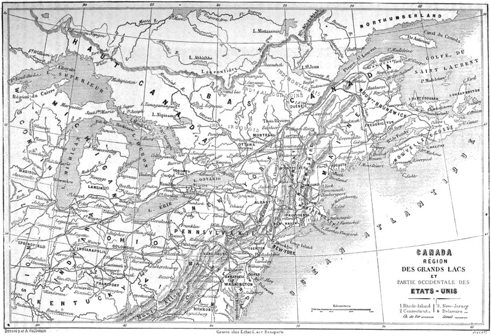
old maps of canada
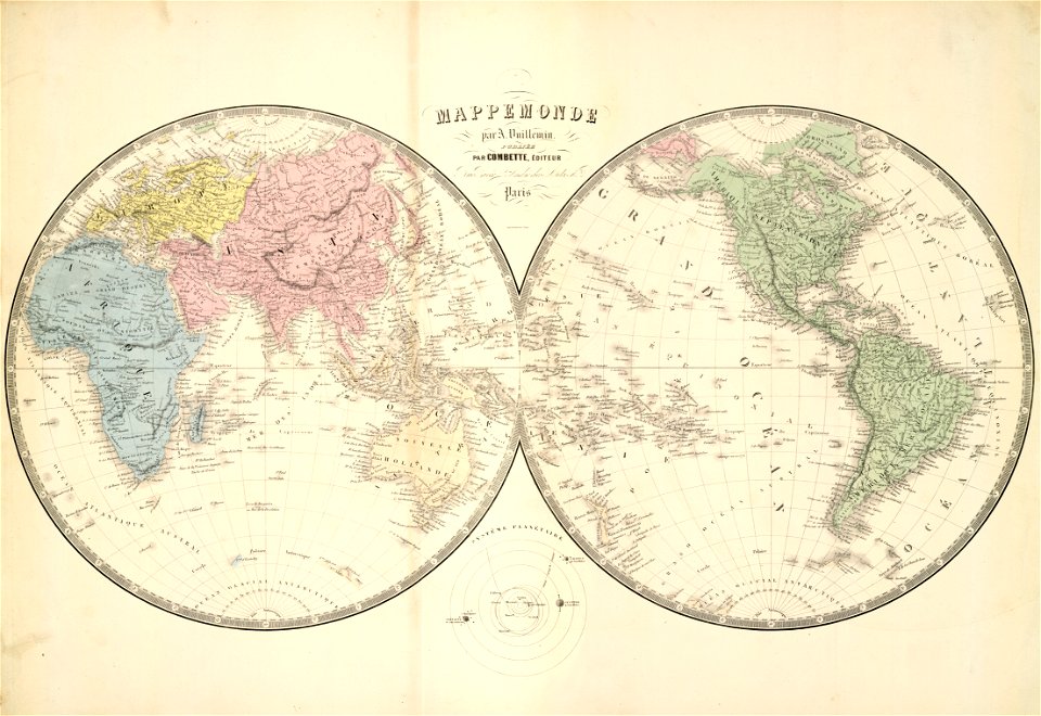
double hemisphere world maps
old maps of the world
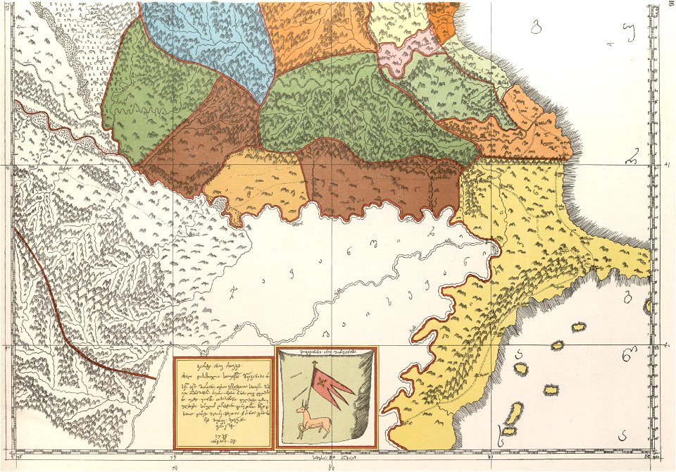
description of kingdom of georgia
its habits and canons
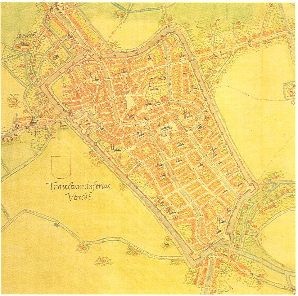
maps by jacob van deventer
old maps of utrecht (city)
maps in the library of congress
new york
county maps of england by john speed
nonsuch palace
new york
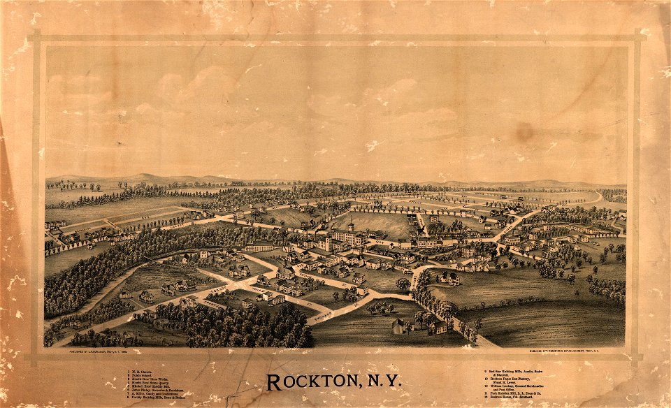
rockton
victor levasseur - maps of the world
frédéric-auguste laguillermie
maps made in the 16th century
ignazio danti
description of kingdom of georgia
its habits and canons
new york
green
old maps of viceroyalty of the caucasus
english-language maps
mdcclxxvi (numeral)
1776 maps
charts and maps of the royal museums greenwich
1572 maps
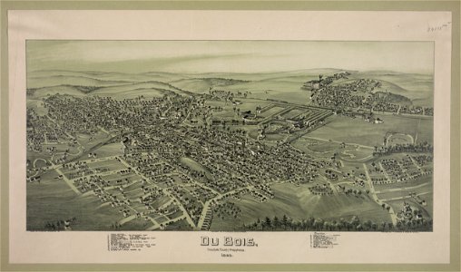
pennsylvania
dubois
maps of the persian gulf
james justinian morier
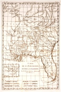
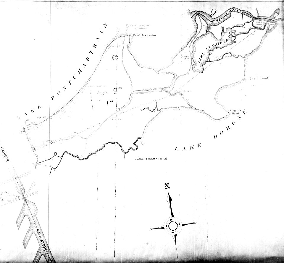
maps of eastern new orleans
the rigolets
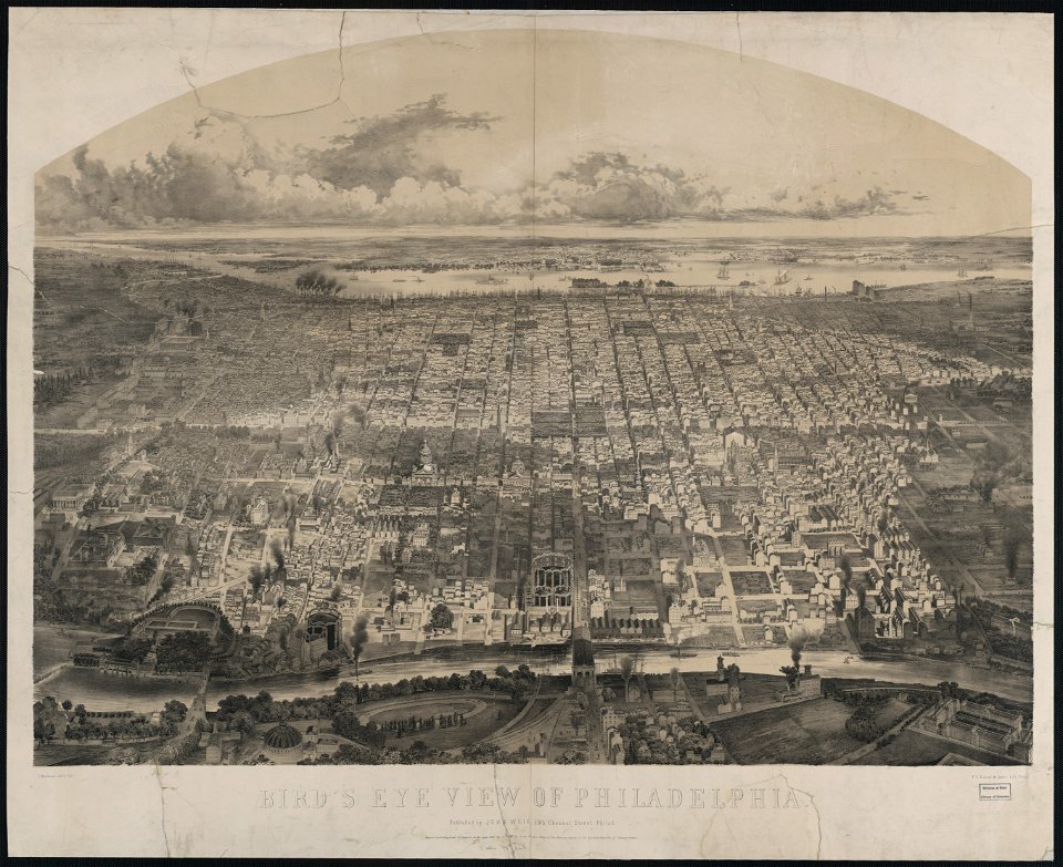
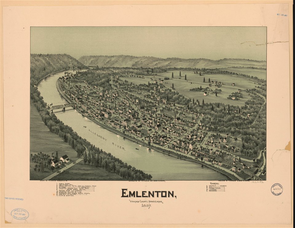
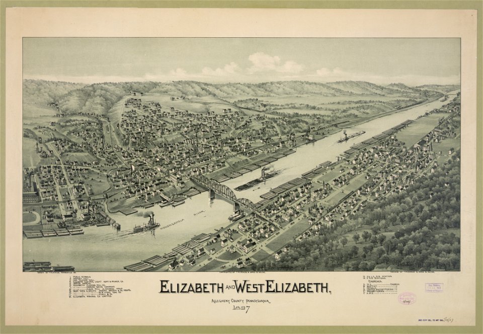
bird's eye view maps of pennsylvania
pennsylvania
pennsylvania
elizabeth
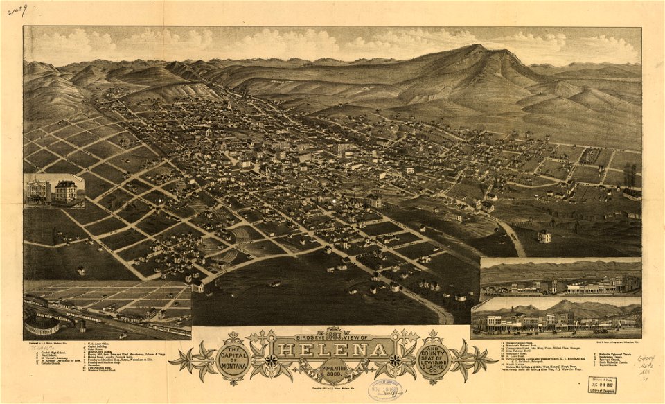
montana
helena
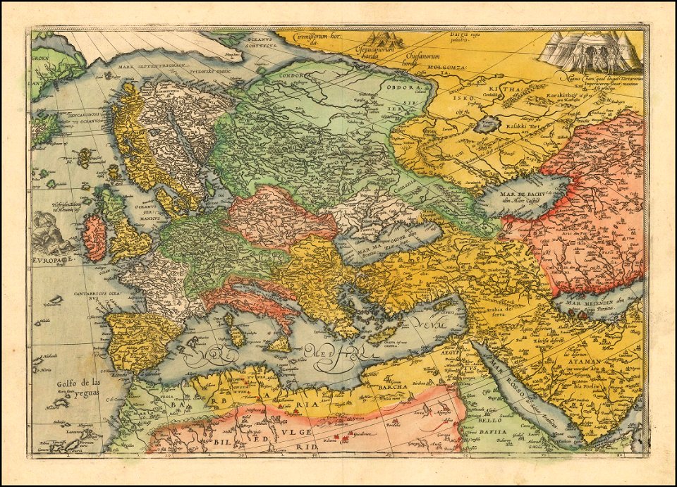
1570s maps of europe
frans hogenberg
5001 - 5100 of 39,546
Next page
/ 396